1938 - JAPANESE NAVY MAP - SHOWA 13

ORIGINAL

Publisher: Ministry of the Navy
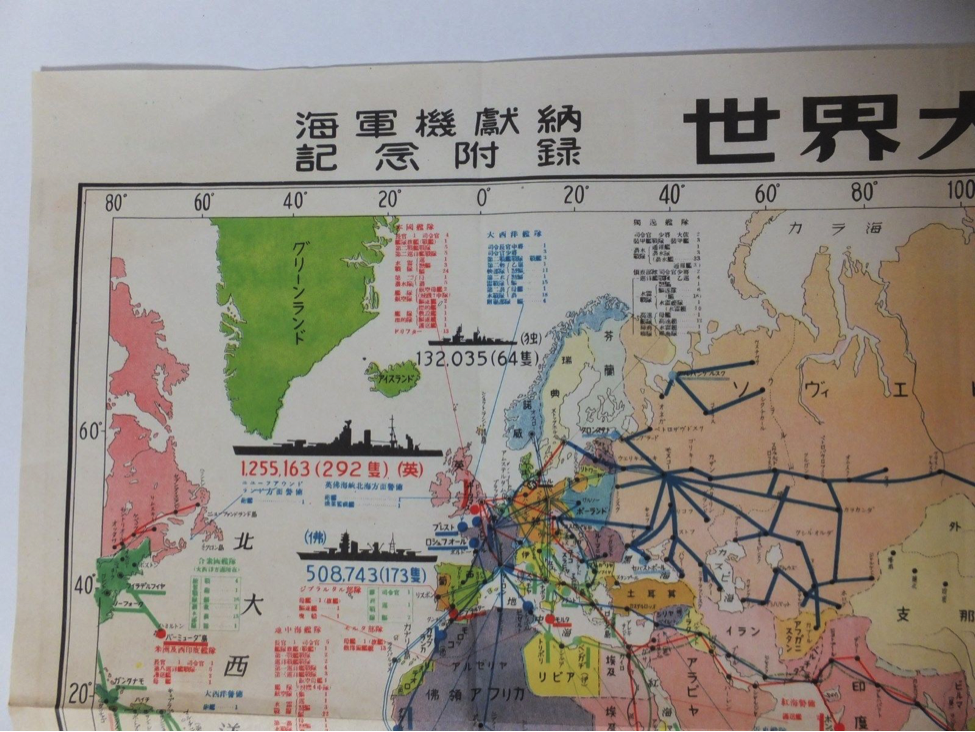
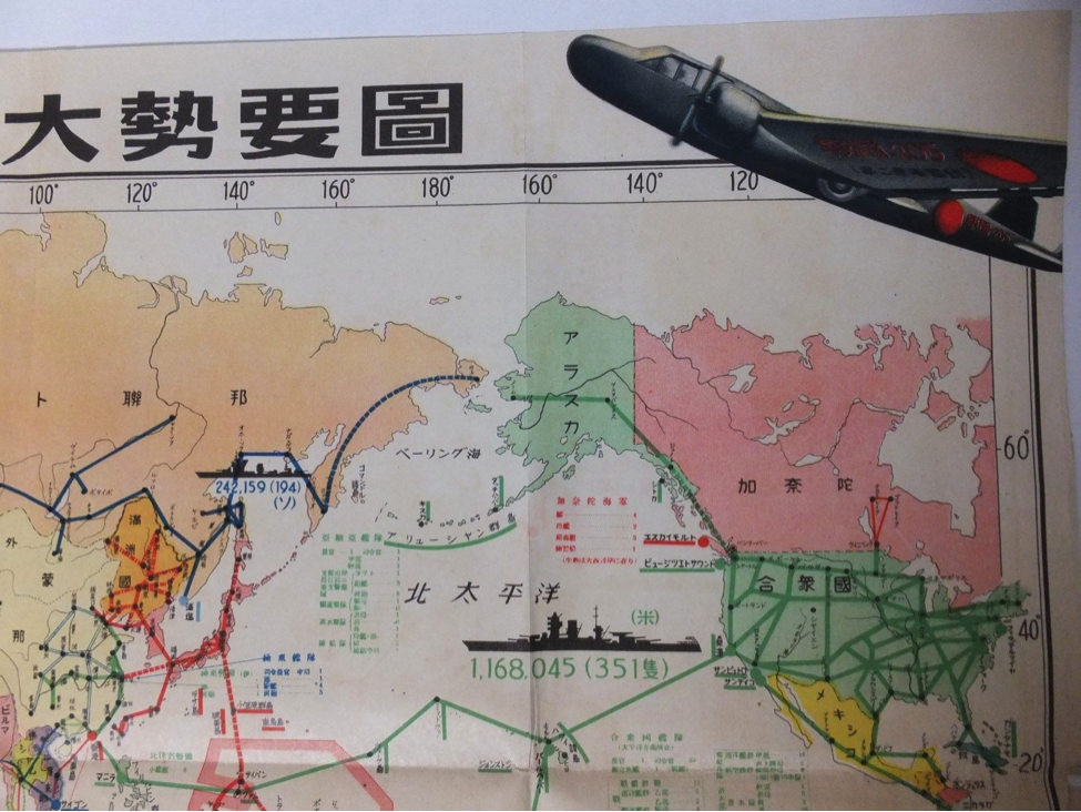
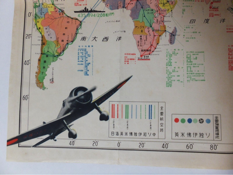
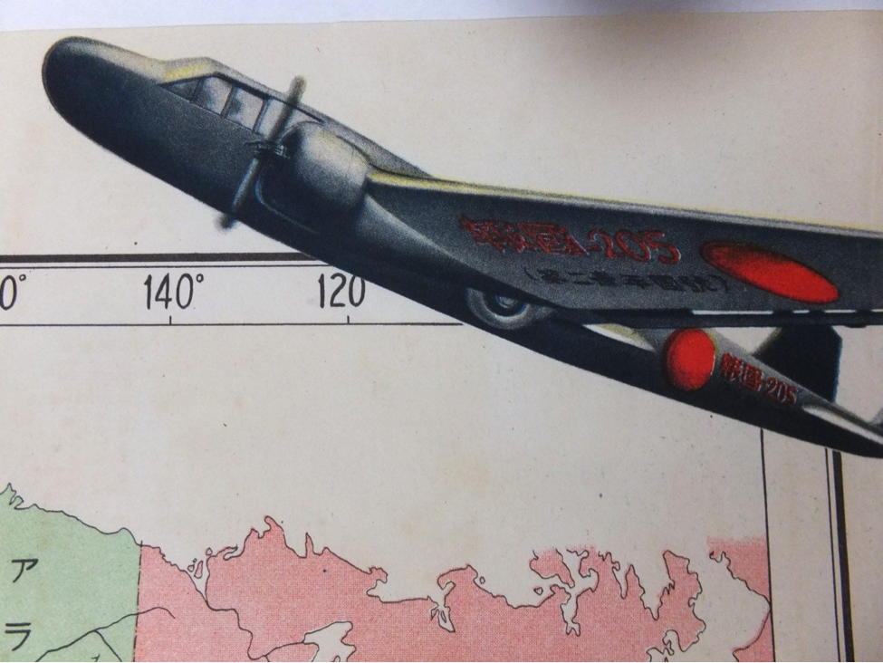
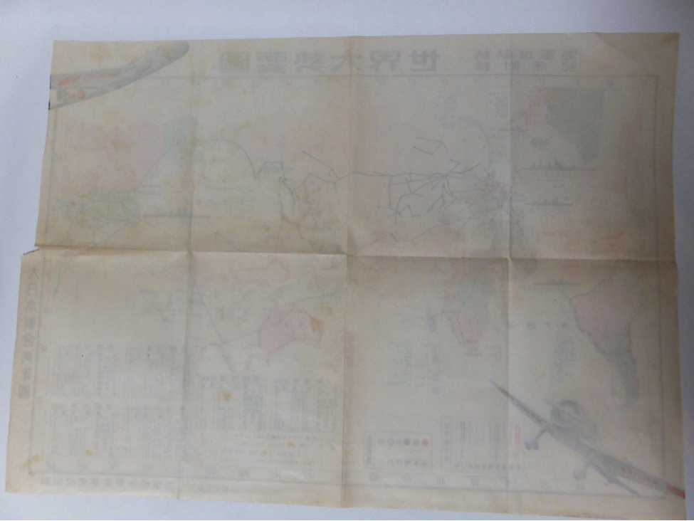
WWII Japanese Navy Map showing fleet warship deployment with picture of a Zero fighter.
Original map measures 15"x21"
Click here for reproduction.
Publisher: Ministry of the Navy
WWII Japanese Navy Map showing fleet warship deployment with picture of a Zero fighter.
Original map measures 15"x21"
Map Name in JP:
海軍機獻納 記念附録 世界大勢要圖
Map Name in modern forms of Japanese kanji:
海軍機献納 記念附録 世界大勢要図
Map Name in EN:
Commemorative Supplement for the Donation of Naval Aircraft: Overview Map of
the World Situation
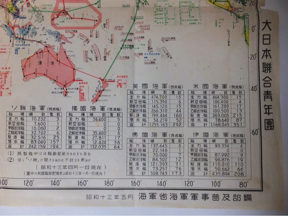
昭和十三年五月 海軍省海軍軍事普及部編
Compiled by the Naval Military Affairs Popularization Department, Ministry of the
Navy, May 1938
*It is not specified whether this organization was the publisher, printer, or distributor.
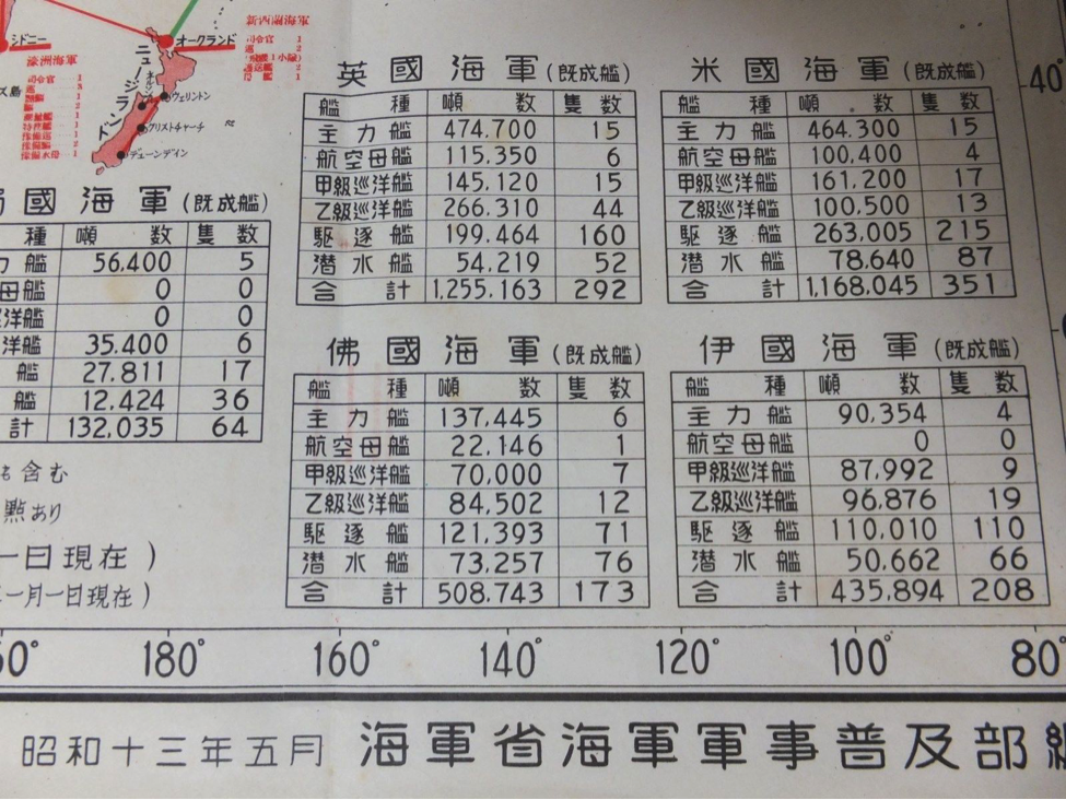
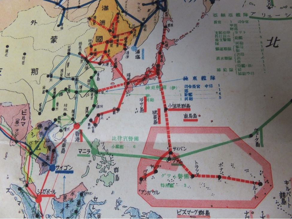
The map includes fleet deployment tables for the Soviet, German, British, American,
French, and Italian navies as of January 1, 1938; major air routes of Japan,
Manchukuo, Britain, the United States, France, Germany, Italy, the Netherlands, the
Soviet Union, and China as of April 1, 1938; and major naval bases of Britain, the
United States, France, Italy, Germany, and the Soviet Union. This illustrates the
international balance of power and strategic geography at the time.