 Image 1 of 1
This map combines the first printed map of Hawaii with the first recorded view of Europeans on the island of Hawaii. John Webber, the official artist , captured Captain Cook and his men in the only bay where Cook was to land on the Big island, where he eventually met his untimely demise.
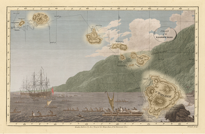
This map combines the first printed map of Hawaii with the first recorded view of Europeans on the island of Hawaii. John Webber, the official artist , captured Captain Cook and his men in the only bay where Cook was to land on the Big island, where he eventually met his untimely demise.